Corridor H Go North Campaign

Comment on the FHWA Notice of Intent
*Read the Supplementary Document to view maps.*
Comments Still Being Accepted
Bullet point issues to use in your comments:
-There needs to be a study of more than just two routes
-There needs to be a route that avoids the Monongahela National Forest & its protected WV Northern Flying Squirrel
-There needs to be alternative routes down the mountain, starting near Tucker County High School
-There needs to be an extension on the comment period to allow the public enough time to study the supplemental information
The US Federal Highway Administration have issued a notice of intent to prepare a Supplemental Environmental Impact Statement for the Parsons to Davis Project. Please submit comments today using the form below.
Core Drilling Permit Applications
Statement from the Corridor H Campaign
For more information: contact Judy Rodd at roddj@hotmail.com
The West Virginia Department of Highways (WVDOH) wants to do extensive “core drilling” -- with road building, tree cutting, and earthmoving -- on their preferred route for Corridor H between Parsons and Davis – BEFORE that route and alternatives have been studied, and before a final selection is made.
To date there has been no legal public notice and no public opportunity to comment on the proposed drilling. The proposed core drilling is premature, pre-decisional, and violates principles of basic environmental law. The DOH appears to be illegally trying to put “facts on the ground.”
Thanks to federal review, the WVDOH Division of Highways has promised to robustly study a Northern Route alternative to the route DOH promoted for 20 years.
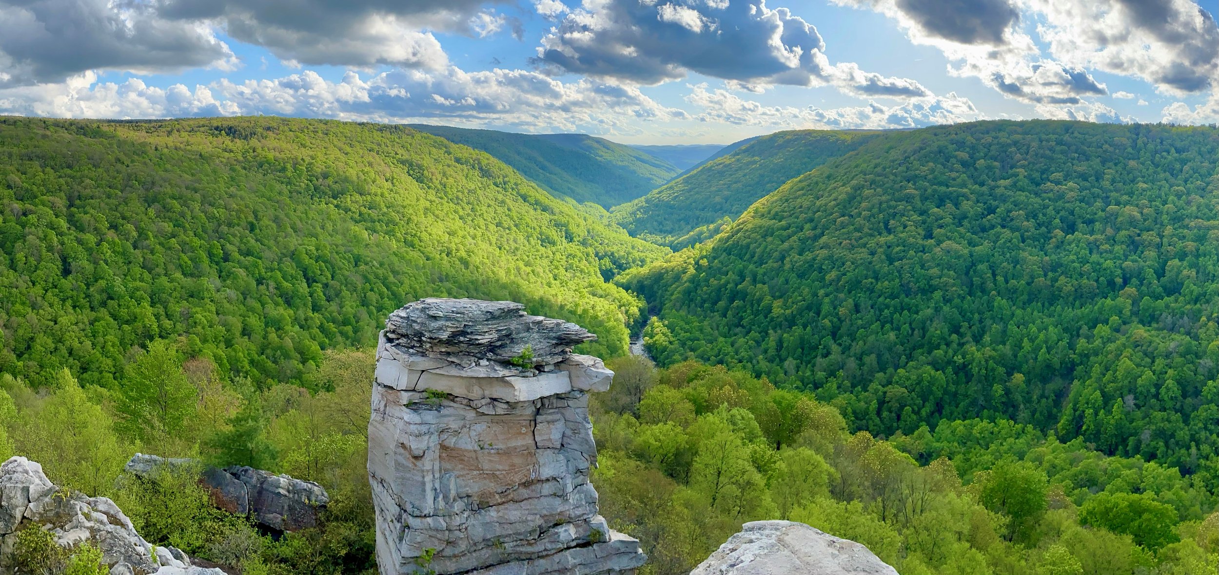
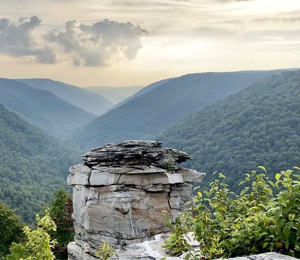
Until we know that this Alternate Route has been studied and chosen, we must oppose all actions – including core drilling -- to implement a route that will degrade Blackwater Falls State Park, run above Blackwater Canyon and the Historic Coke ovens, run next to Big Run Bog and the Olson Fire Tower, and run through the Monongahela National Forest.
Please join the Corridor H Go North Campaign in opposing all current permits for core drilling and stand by the Go North Alternate Route. We believe that comments on a permit for drilling in the Monongahela National Forest will open soon. We will keep you posted.
We note that core drilling for Corridor H is also happening in Hardy County on private property, with no public notice. This happening is while they are still doing planning and taking comments on a draft EA for this “Road to Nowhere,” which has No Alternative. Learn about this comment period ending Nov 13 at https://potomachighlandstewards.org.
The Parsons to Davis Project is an approximately 10-mile, new location, four-lane, divided highway, with partial control of access. The Project begins east of Parsons, at Tucker County Route 219/4 (Mackeyville Road) 0.2 mile south of United States Route (US) 219, which is also the eastern terminus of the Kerens to Parsons Project. The Project ends north of Davis along WV State Route (WV) 93, 1.3 miles east of WV 32, which is also the western terminus of the Davis to Bismarck Project.
A Supplemental Final Environmental Impact Statement (FEIS) was approved in 2007, but the route was never giving a approved record of decision (ROD) by the Federal Highway Administration. A Public Informational Workshop was held in 2019 to provide updates on the project. Only the WVDOT preferred route or ROPA was put forward. Since 2019, engineering studies, including consideration of options for the Coketon bridge type, the Corridor H/WV 32 intersection, and the Truck Route have taken place. In addition, environmental studies, including surveys for federally listed species, an updated historic resources survey, and an Environmental Justice analysis, are ongoing.
In August 2023 under pressure from the public the West Virginia Division of Transportation agreed to study a northern route for the Parsons to Davis. They have applied for and received a permit for core drilling under a wastewater permit from the WV Department of Environmental Protection. They have applied for a similar permit for core drilling on the western end of the Parson to Davis route
Project Summary
From the WVDOH:
Map Illustrating Northern Route & DOH’s Proposed Route
The Department of Highway’s Destructive Preferred Route
The Least-Impactful Northern Route We Are Advocating For
Our comments on this project.
Click the comment button to read our comments on this project. They have been officially submitted to the West Virginia Department of Highways. The second button will reveal a letter to the governor by West Virginia Highlands Conservancy.

Negative Effects of the Canyon Route
-
![]()
Blackwater Falls State Park
Negatively impacted by light pollution and view of proposed route
-
![]()
Douglas Falls
Bridge construction for Blackwater Loop Trail shall be halted by proposed route
-
![]()
Northern Long-Eared Bat
Endangered species possibly roosting along proposed route
-
![]()
Thomas & Davis, West Virginia
“Sister towns” separated by proposed route
-
![]()
Blackwater Loop Trail
Peaceful, Remote, Backcountry Trail that will be obstructed by noise and view of an overhead highway bridge
-
![]()
Blackwater Industrial Complex
Negatively impacted by noise, smell, and view of highway bridge built overhead via proposed route
-
![]()
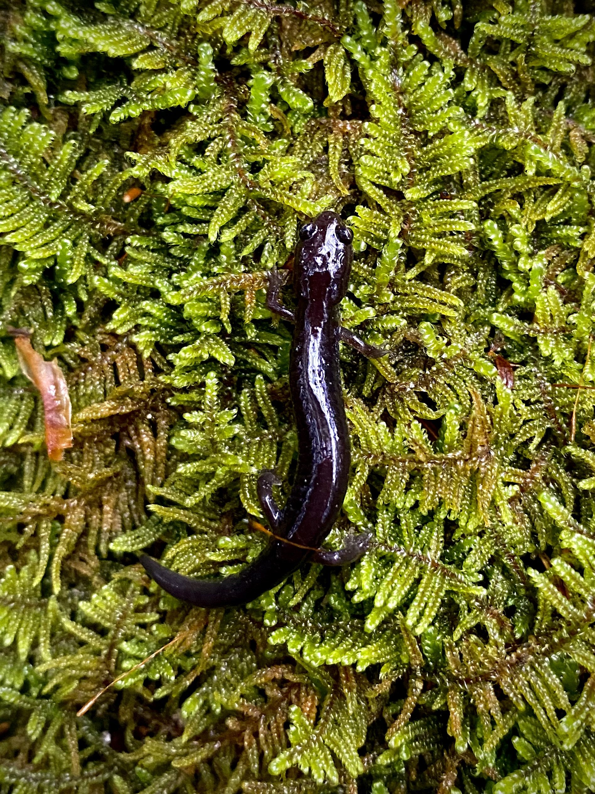
Cheat Mountain Salamander
Threatened species possibly residing along proposed route
-
![]()
Blackwater Rail Trail
Negatively impacted by noise, smell, and lights from tri-axle trucks on highway bridge built overhead via proposed route
-
![]()
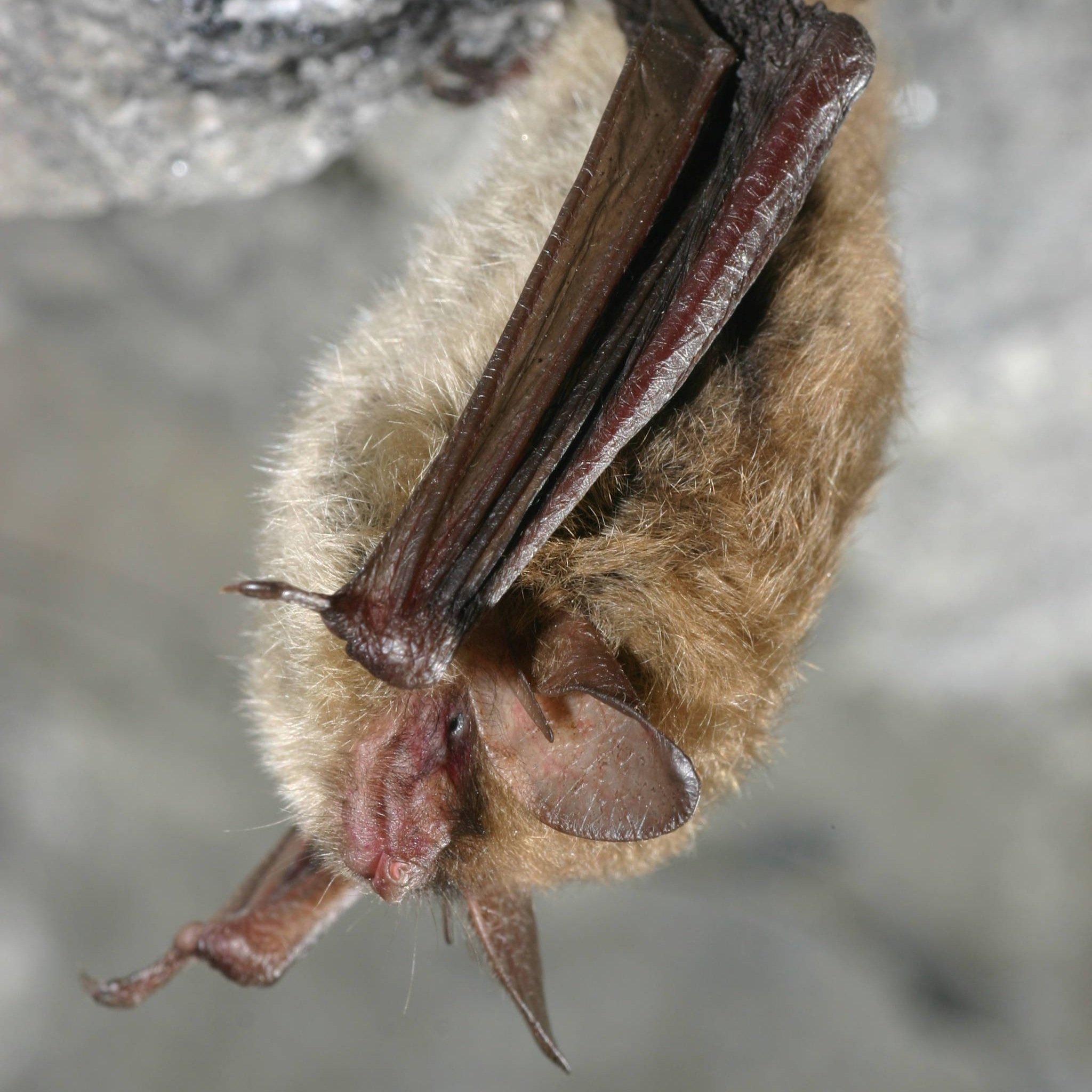
Virginia Big-Eared Bat
Endangered species roosting along proposed route
-
![]()
North Fork Blackwater River
Could receive additional AMD due to blasting for construction of proposed route
-
![]()
Green Salamander
Near-Threatened Species possibly residing along proposed route


Take Action!
We the undersigned object to the building of Corridor H between the towns of Thomas and Davis, continuing to Douglas over the Blackwater Canyon Historic area.
This plan would undermine the connection between the local communities and make it dangerous to travel between the towns on foot or bicycle. An elevated 4-lane highway through the beautiful Blackwater area is not in the interest of the local economy.
Valuing our natural resources and public lands adds to our quality of life and draws people to our communities. These visitors create jobs in Thomas, Davis, and Canaan Valley.
Thomas and Davis have become destinations in the last 20 years with a thriving diversified economy. Directing commercial traffic traveling to locations outside the county through the center of our towns would have a detrimental impact on our businesses.
We support the already studied alternative northern route going north and east of Thomas.
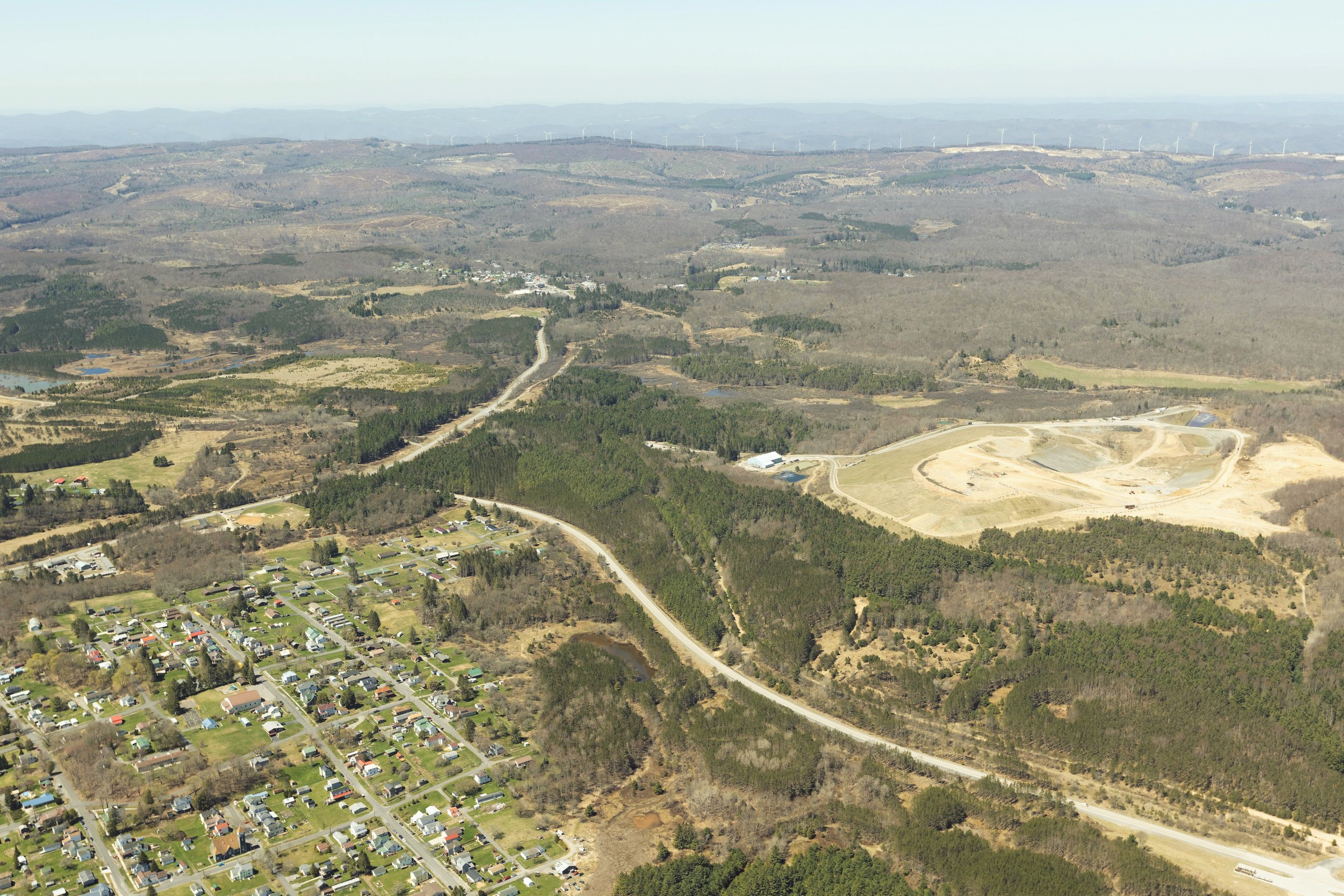
Flyover of Corridor H Construction

Holly Meadows Bridge Construction

North Fork Planned Bridge Area
Davis Planned Intersection Area
West Virginia DOH Preferred Alternative Reports

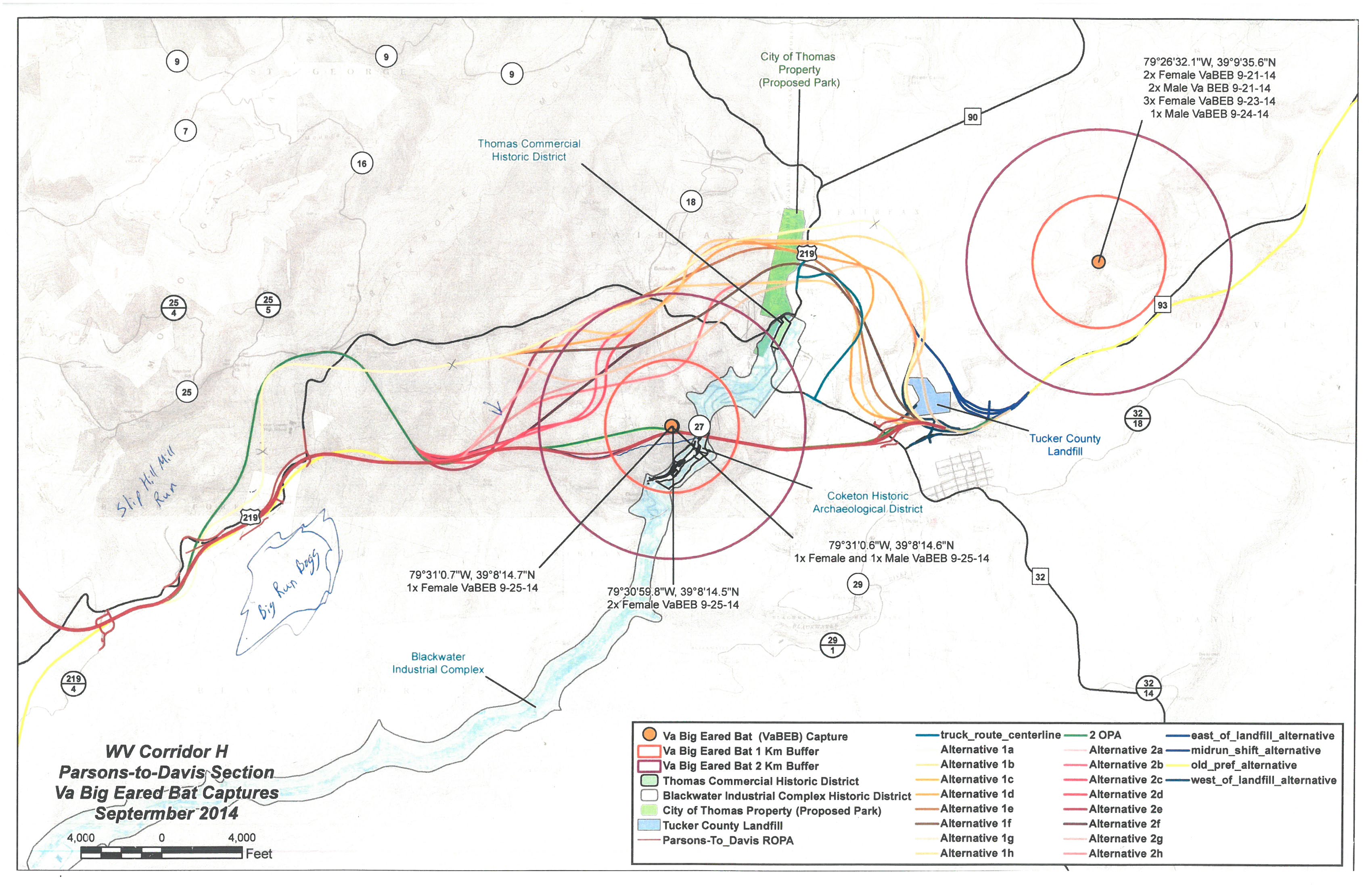
Location of VA Big-Eared Bats Along Proposed Route.
The orange dots represent hibernacula of this endangered bat species. As you can see the proposed route will destroy the population on the west side of this map. (Click map to enlarge)